2023-2024 Japanese Snow Season Outlook – Grasshopper’s December Update
Mountainwatch | The Grasshopper
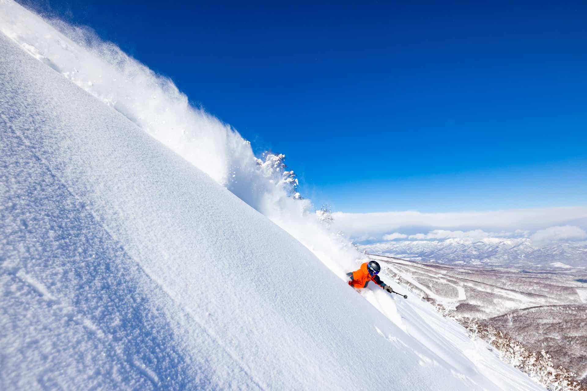
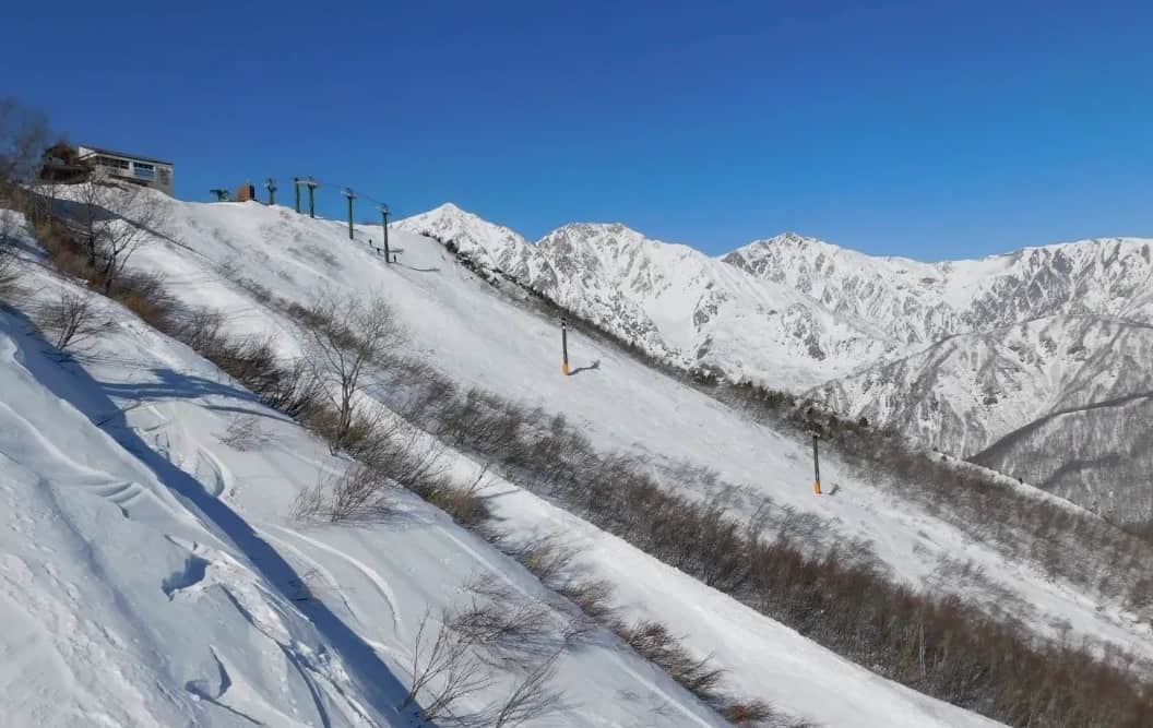
The past month has been an unsettled one in Japan, where an anomalous southwest flow has brought mild temperatures and frequent rainfall events. However, decent cold outbreaks snuck in mid and late November, bringing big snowfalls, especially to Hokkaido, followed by a few top-ups early December. Overall, conditions are looking pretty good for this time of year, with snow depths on Hokkaido above-average, and with a tonne of snow expected next week (more on that later), Japan looks to be making a good start.
“Pretty good” conditions aren’t typically what we’d associate with El Niño when regarding Japanese snow, especially when looking at Honshu. And if you happened to be Down Under this past month (in Aussie or New Zealand), you could be forgiven for asking what happened to this strong El Niño. This past month has seen above-average rainfall across the north and east of both Australia and New Zealand, while westerlies have largely been absent – resembling more of a La Niña pattern than an El Niño.
Even the Southern Oscillation Index, which tracks the atmospheric response to the El Niño – La Niña pattern by comparing air pressure anomalies at Darwin to those at Tahiti, has been rather demure, remaining in El Niño territory without plunging into deeply negative levels of past strong El Niño’s. Easterly trade-wind anomalies and convection patterns associated with El Niño have also been soft or non-existent since mid-November.
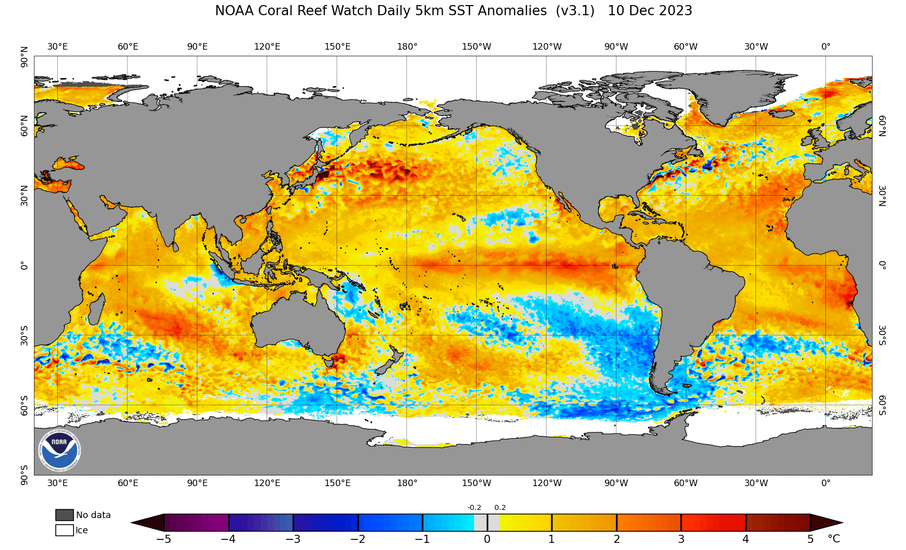
Every El Niño has its own flavor, and it appears there are a several factors complicating this one. Global ocean and air temperatures are simmering at record-breaking high levels, creating areas of enhanced atmospheric moisture. The western and north Pacific is no exception, predominantly running 1-3°C warmer than average, making this El Niño less pronounced than it once might have been, figuratively and almost literally raining on its parade.
Another factor raining on El Niño’s parade and possibly aiding early Japanese snowfall, has been the eastward drift of a moderate-strong pulse of the Madden-Julian Oscillation (MJO) across the tropical Indian Ocean and Maritime Continent over the last couple of weeks. This pulse of enhanced convection is now over the western Pacific and may have had a hand in the development of tropical cyclone Jasper, which is currently sitting just off the north Queensland Coast. The MJO is expected to weaken while tracking across the dateline in the next few days, where it should no longer hold back El Niño and possibly even strengthen its influence for a time.
Now, let’s get out of the tropics and zoom back in on Japan…
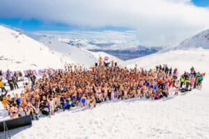
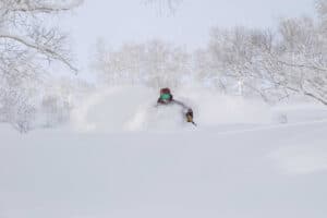
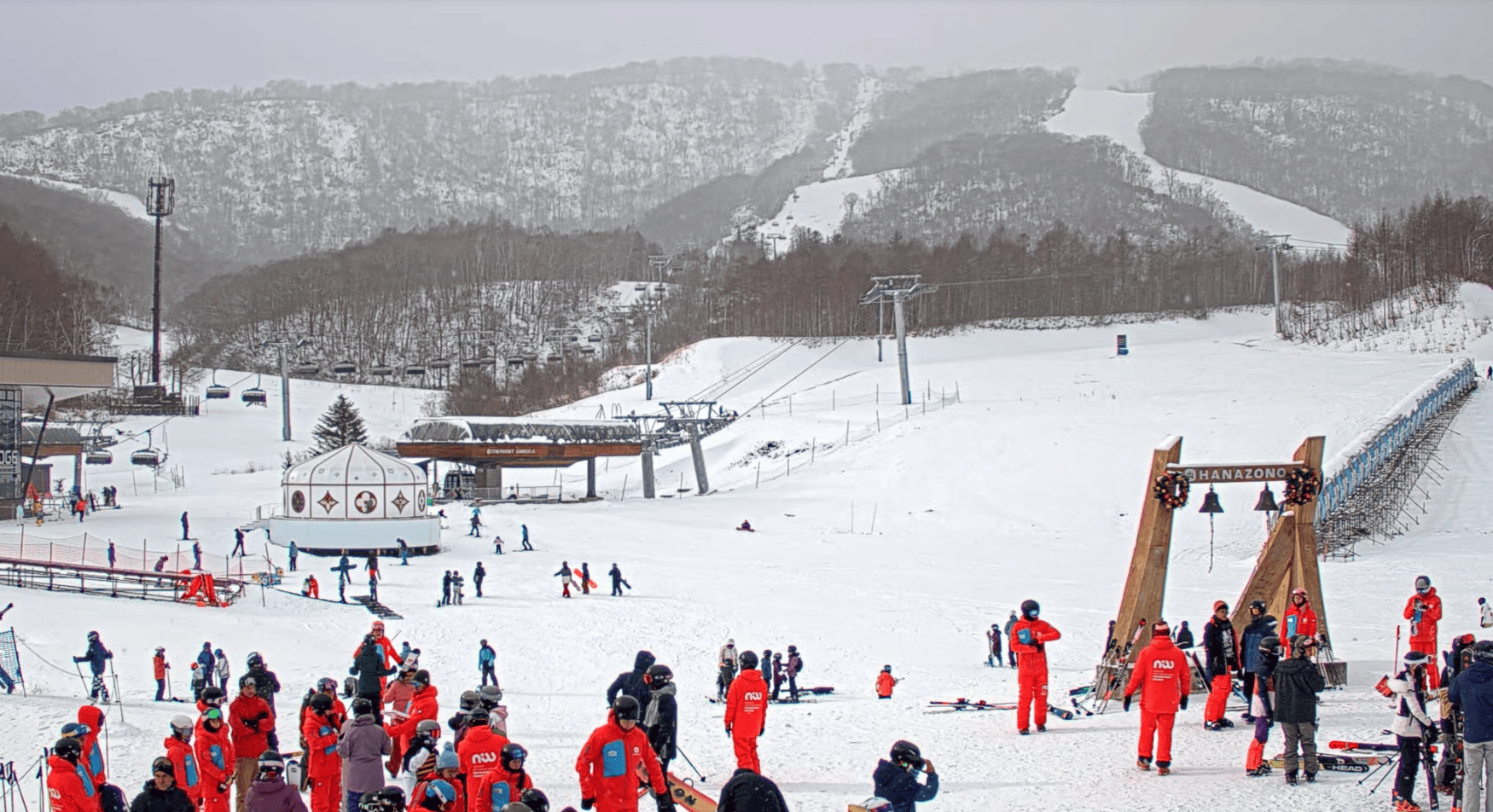
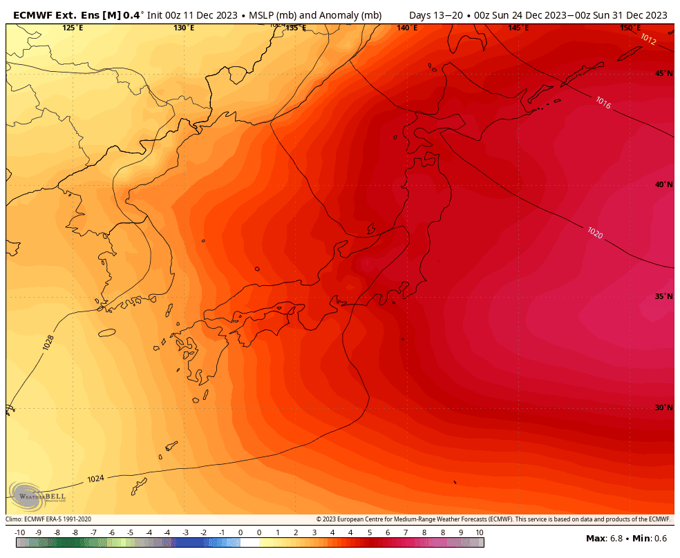
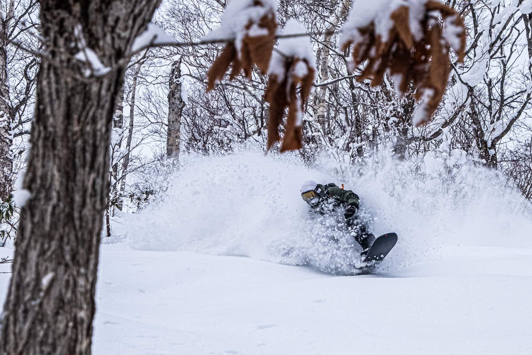
Starting this Sunday, Japan is in for a heavy week of Japow as two lows pass by, ushering in strong, freezing winds straight out of the heart of Siberia. I’ll save the details for Thursday’s forecast, but suffice to say that you’d need a stake at least 1m long (make it 2m to be safe) to take accurate measurements of this load. With the bulk of resorts aiming to open this weekend and the next, it’s perfect timing and will kick off the season-proper, allowing us to leave the “early season” in our powder dust.
After the storm, ensemble models and Japan’s meteorological agency, the JMA, suggest the first half of the remaining week of the year will see the passage of a strong high-pressure system, which could be the best Christmas present anyone could wish for given all the powder that’ll be lying around. The second half of that week looks to be open for one or two weak-moderate fronts, with light-moderate snowfalls possibly welcoming in the New Year.
Beyond that, we can only look in broader, longer-term ranges, where seasonal models and the JMA expect El Niño to flex its muscles. As I’ve mentioned in previous outlooks, El Niño is said to not be great for Japanese snowfall, not a deal breaker, just a slight negative influence. Its influence is also questionable on Hokkaido, which may actually do quite well during El Nino’s.
Nonetheless, El Niño may strengthen a little more before peaking sometime in January around “very-strong” thresholds. January through March is expected to be a little less stormy than usual in Japan, with pressures overall running a little high, leaving temperatures to also run warmer with drier conditions along the Sea of Japan side of the country.
The south and eastern side of central Honshu will likely cop increased rainfall from more lows popping out of the west. However, given the complicating factors for El Niño and next week’s Japow-fest, and because I’m feeling positive, I give this season a few extra points in the right direction.
That’s all from me folks. Remember, an El Niño pattern is dealing with averages over the length of a season, but you and I know it’s more often about timing. A little more or less snow here and there isn’t likely to spoil the sake here in Japan. Plus, seasonal models and climate drivers quite often don’t go to plan. They’re only dealing with perhaps up to 10-20% of variation, the rest is like organised chaos, which is only reasonably forecastable out to 7-10 days. So be sure to keep on top of things with my weekly forecasts issued every Thursday, giving you all the highlights and snowlights of each coming week.
Grasshopper